Field Guide to the Deep History Coast
Cromer to Overstrand
Parking: car park at Paul's Lane, Overstrand
Access: from Cromer West Promenade; by steps from the high cliff top at Happy Valley (TG 232416) and from Overstrand Promenade
 |
 |
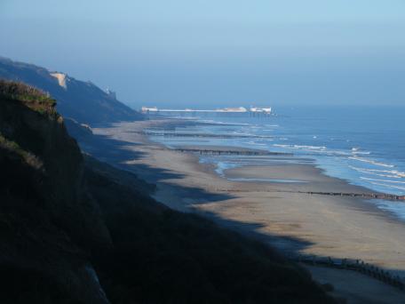
Geology
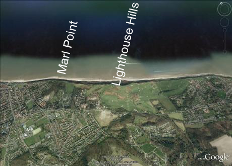
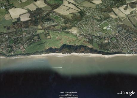
Fossiliferous Pleistocene deposits on the foreshore below the Lighthouse Hills (The Greenhills Rocks) have produced elephant remains but are not often exposed. Cromer Forest-bed strata are occasionally seen at the base of the cliff. The Lighthouse Hills are northerly elements of the Cromer Ridge cut by coastal erosion. Parts of the cliff have stabilised due to coast protection works and are obscured by vegetation now.
Marl Point near the former Coastguard lookout station (TG 228420) is a low angle thrust of intensely chalky till created by ice pushing from the north. The higher parts of the cliff exhibit folding in the Contorted Drift.

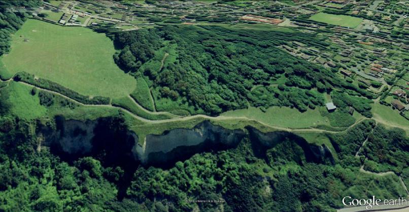
Immediately inland of Marl Point is Warren Woods, occupying a hill (named Stony Hill) that represents the topographic expression of the Marl Point Thrust. On the Ordnance Survey first edition (about 1886) a marl pit is shown containing a limekiln, confirming the chalky makeup of the sediments there. It also appears on the Tithe map of about 1840.