Geology deep under North Norfolk
Gimingham borehole
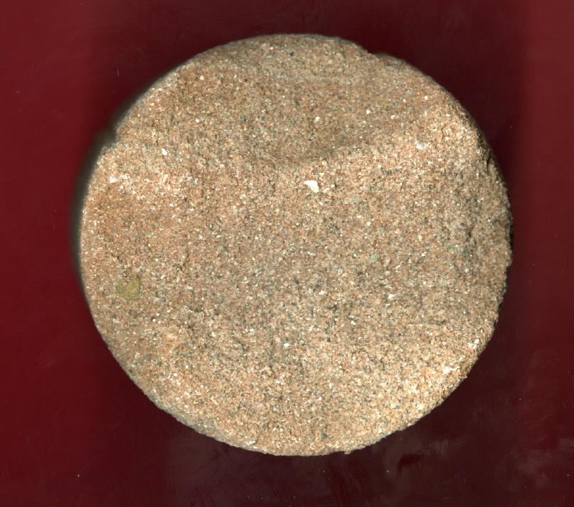
In February-March 1979 I was fortunate to witness the drilling of a deep borehole at Grove Farm, Gimingham (TG628337), sunk by Kenting Drilling UK for the British Coal Board, searching for coal reserves. They reached a depth of 1285 metres but didn't find Coal Measures. A great deal of core material was discarded in piles nearby the drilling rig and I was able to collect samples of the Permo-Triassic sediments. Accompanied by a Kenting employee I was also able to go into the Portacabin to see the important cores laid out on racks in u-shaped channel. I was permitted to acquire a couple of small samples of the Magnesian Limestone and Carboniferous horizons near the bottom of the borehole. A total of 19 samples were put into the Cromer Museum collection and can be viewed on request (44 (0)1263 513543). The actual logs can now also be viewed online via the website of the British Geological Survey. This is the link to the Gimingham borehole at Grove Farm (TG23NE1: GIMINGHAM, Depth: 1285.9m).
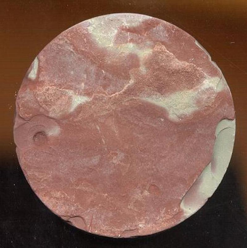
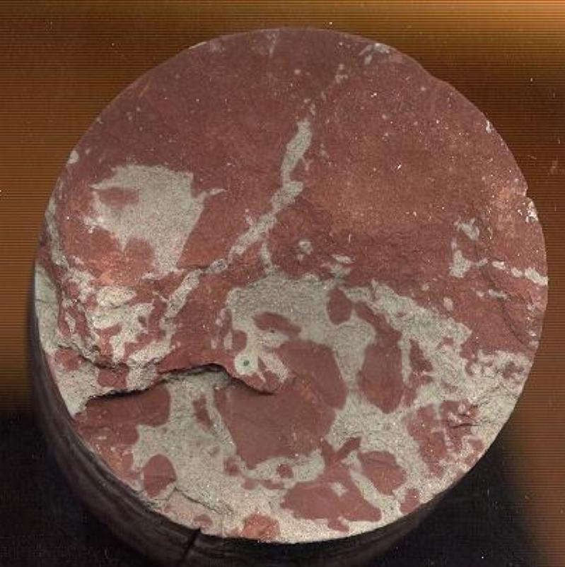
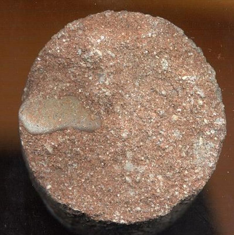
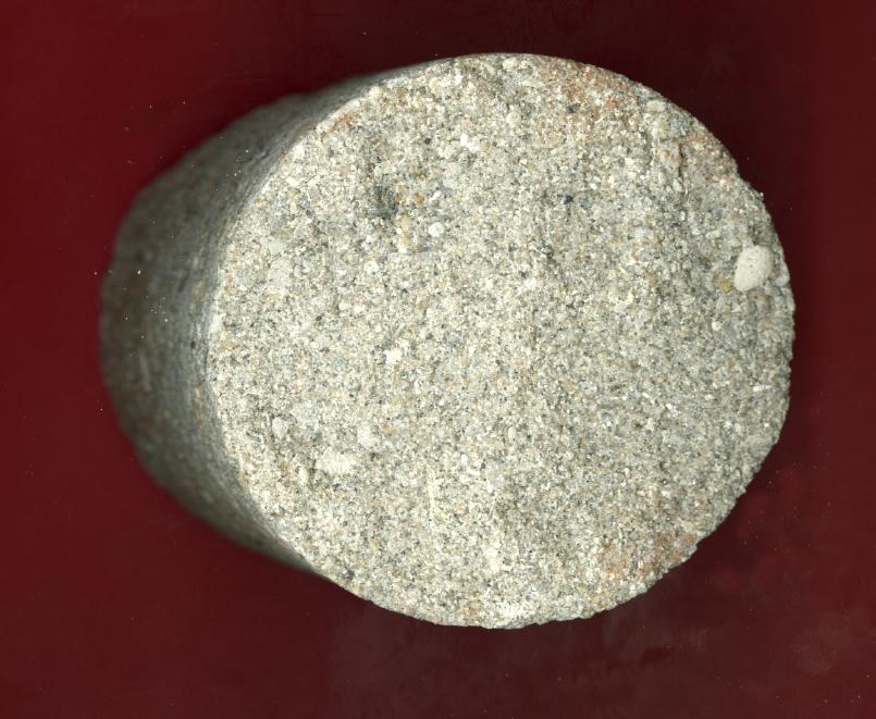
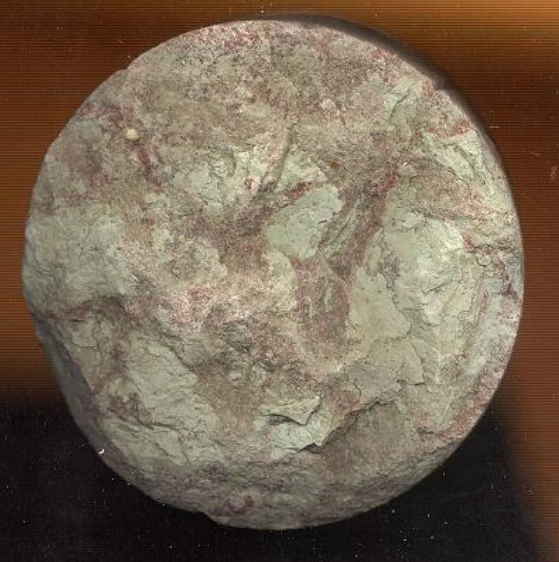
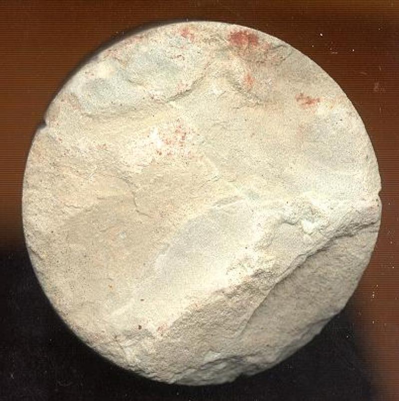
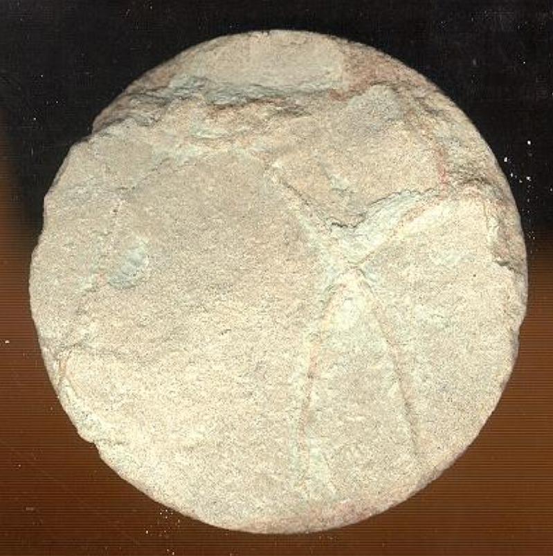
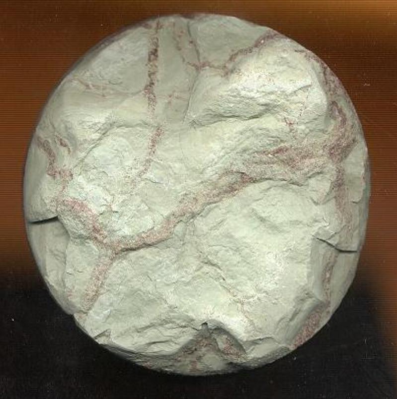
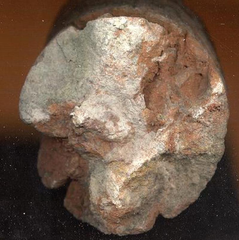
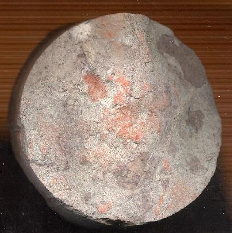
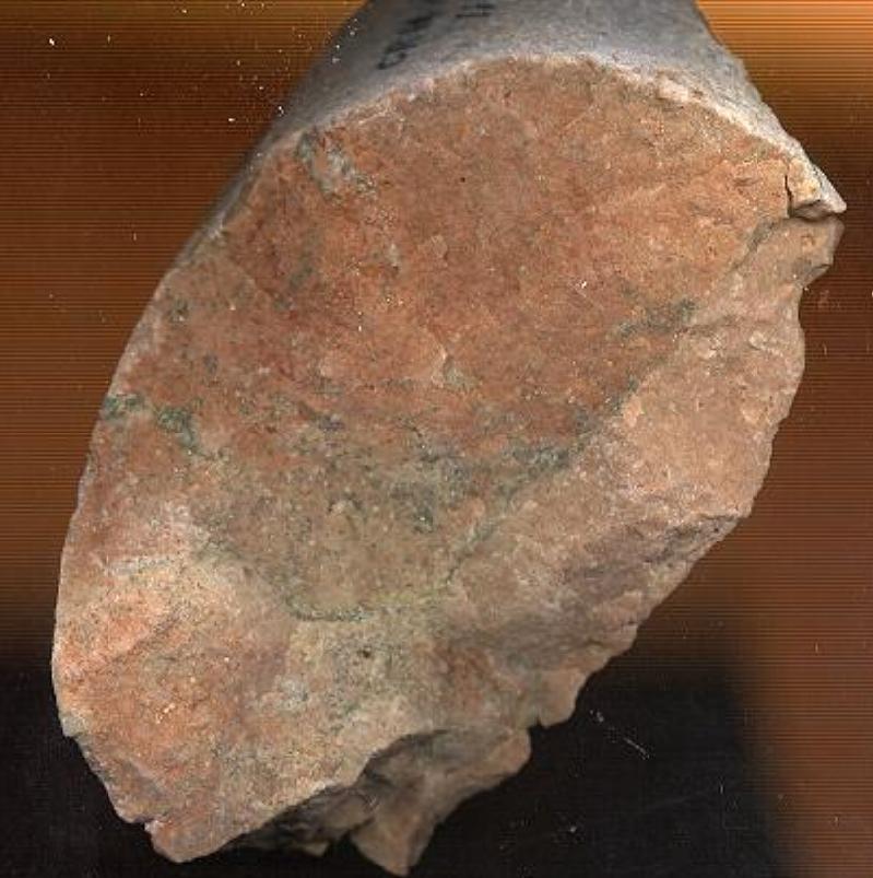
The borehole was cored from 1053.45m. Below are pictures of core samples in the Cromer Museum collection (CRRMU : 1979.14.1-14) from the Bunter Sandstone at around 1120 m and 1130 m depth respectively.
| Age | Formation | Sediments | Environment | Thickness | Depth to base |
| Pleistocene | Superficial deposits | Sand and flints | Glacial, glaciofluvial, cold | 42m | 42m |
| Upper Cretaceous | White Chalk | Chalk with flints | Seabed, sub-tropical | 492.5m | 534.5m |
| Jurassic | Lias | Mudstones | Marine | 135.5m | 670m |
| Triassic | Keuper Marl | Mudstones, red-brown and grey-green marls | Desert lake | 413.95m | 1083.95m |
| Triassic | Bunter Sandstone | Sandstones | Waddi, desert | 51.55m | 1135.5m |
| ?Upper Permian | Upper Permian Marls | Marls | Inland drainage, desert | 13.3 | 1148.8m |
| Permian | Upper Magnesian Limestone | Limestones with sulphides | Reefs and ooidal shoals, Zechstein Sea | 18.8m | 1167.6m |
| Permian | Middle Permian Marl | Mudstones, sandstone and limestone | Zechstein Sea, hot | 56.35m | 1223.95m |
| Middle Permian | ?Lower Magnesian Limestone | Mudstone, minor limestone | Zechstein Sea, hot | 2.25m | 1226.2m |
| Permian | Rotliegendes | Sandstones | Fluvial and aeolean, semi-arid | 18.55m | 1244.75m |
| Carboniferous | Carboniferous Limestone | Mudstone, limestone | Reef, tropical | 41.15m | 1285.9m |
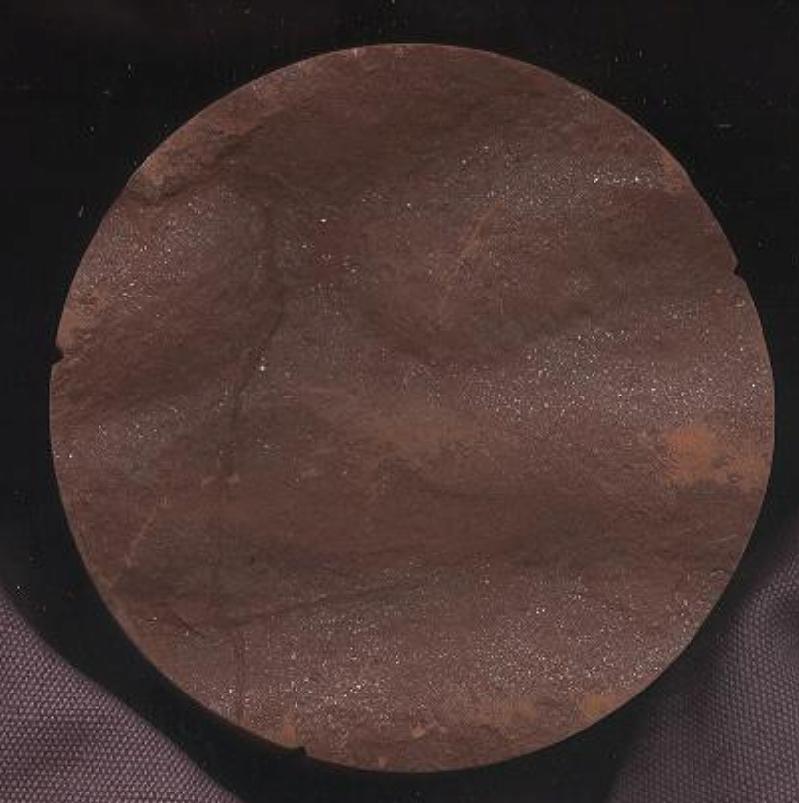
Keuper Marl
Keuper Marl
Keuper Marl
Bunter Sandstone
Bunter Sandstone
Bunter Sandstone
Images courtesty of Norfolk Museums Service
Chalk rafts under Felbrigg Hall
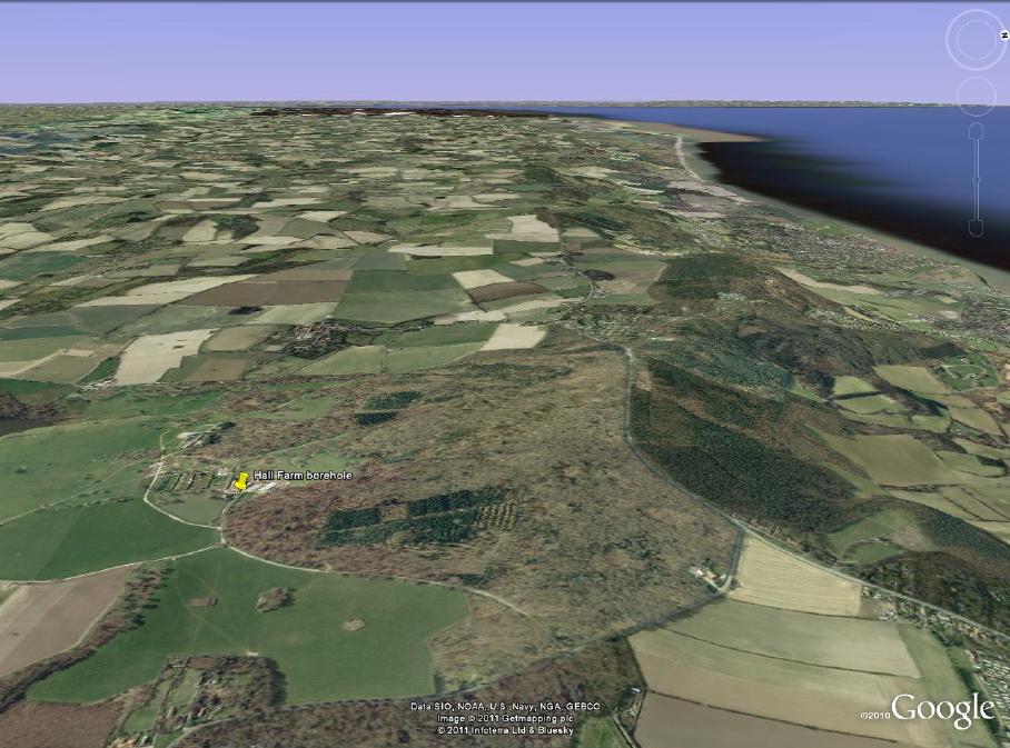
In 1965 when a borehole was put down by Dereham Water Supplied Limited for Hall Farm, near Felbrigg Hall (TG13NE3: FELBRIGG HALL, Depth: 108.2m) the drillers were surprised to find chalk at anomolously high levels. They passed through the chalk and back into glacial materials three times (grey clay, grey sand, clay and gravel), marking their log with asterisks and exclamation marks to note their surprise.
See the scan of the log on the BGS website.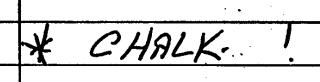
These must surely have been glacial rafts at depths of 140-150 feet, 210-300 feet (very thick!) and 315-325 feet. They never encountered solid in situ chalk but they got their water. So this indicates that beneath the Cromer Ridge there is plenty of 'chalk rafting' or in other words glaciotectonics are responsible for uplifting chalk to anomalous levels. This is witnessed on the coast at Sidestrand and Wood Hill, East Runton.
Compiled by Martin Warren. Last 14.2.2017